REMOTE SENSING

Drought Risk Managment Laboratory 

Drought Monitoring : Remote Sensing
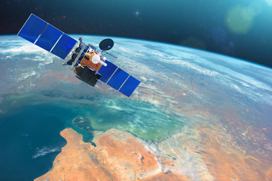
In the past few decades, satellite-based remote sensing has provided relatively high spatial resolution and high temporal resolution observations of the Earth. Remotely sensed imagery provides spatial continuous spectral measures across large areas that reflect both atmospheric and land surface characteristics. As a result, remote sensing data has been increasingly used for large-area drought monitoring. For example, several satellite-derived vegetation indices have been developed to monitor drought from local to global scales. Researchers are making progress in developing better drought monitoring tools to assess drought-related vegetation stress and evaluating with ground observations.
In recent years, hybrid drought indices that integrate climate, satellite, and environmental data have been developed. In addition, remote sensing data collected by several recent satellite-based instruments have also been used to estimate several key variables related to drought that include land surface temperature, evapotranspiration, soil moisture, and precipitation.
The technology of drought monitoring using these remote exploration is studied all over the world, and the research and topics pursued by DRML are as follows.
Earth observations that include satellite, climate, oceanic, and biophysical data for efficient drought analysis and improved seasonal prediction
Improved modelling techniques to combine or integrate drought indices based on various drought indicators
Satellite-based soil moisture and evapotranspiration estimation
Remote sensing-based precipitation estimation and evaluation
Data mining and GIS applications to drought monitoring and prediction