About The Drought Risk Management Lab
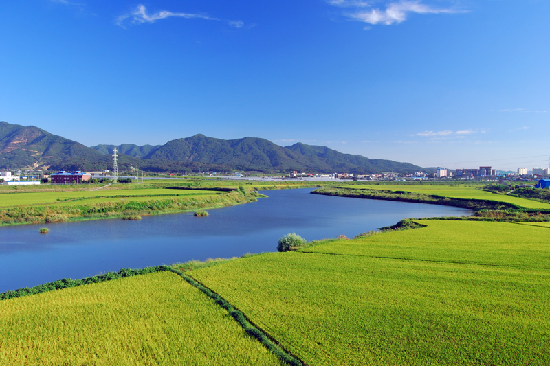
Drought is a complex, multi-faceted natural hazard. An effective response requires many types of information collected at various spatial and temporal scales. Satellite remote sensing can fill in the information gaps of traditional field observations, providing a more complete view of drought dynamics.
DRML investigate the use of satellite observations to characterize various drought-related components of the hydrologic cycle to develop a more complete view of drought conditions. Research aims to improve drought monitoring and early warning through the development of satellite-based remote sensing methods to map and monitor evapotranspiration, soil moisture, and vegetation health. The research is highly interdisciplinary including geography, climatology, hydrology, agronomy, ecology and social science.
Our mission is to reduce the effects of drought on people, the environment and the economy by researching the science of drought monitoring and the practice of drought planning. We collaborate with and learn from decision-makers at all levels – individual ranchers, communities, regions, watersheds, tribes, states, countries – across the South Korea and around the world. We organize and present workshops, writeshops and other capacity-building activities, in close cooperation with local partners.
The DRML’s work spans the continuum of basic research, applied research, and practical application with the goal of providing actionable information for more effective agricultural, water, and other natural resource management in the face of drought. DRML maintains a strong research partnership with the National Drought Mitigation Center (NDMC), Center for Advanced Land Management Information Technologies (CALMIT), and University of Nebraksa-Lincoln (UNL) and leading remote sensing scientists and institutions with projects spanning the world.